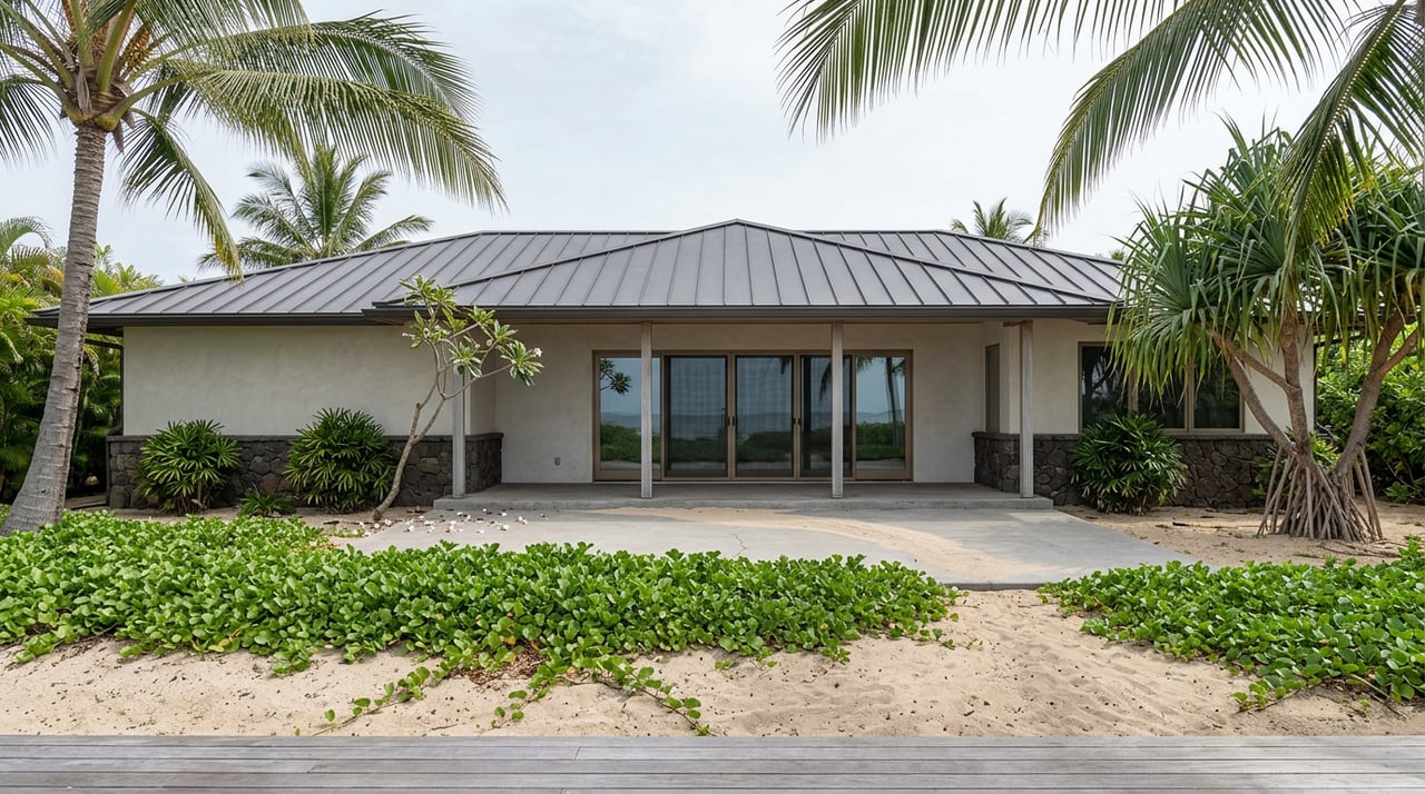
Stand on the sand in Makena and look at two half-acre lots sitting side by side. Same beach. Same distance to the water. Same asking price range, give or take. Ask each owner what happens if a storm damages the house or the seawall out front, and you can get two completely different answers, because since late 2023 the county has stopped treating Makena's coastline as one uniform line and started treating it as dozens of individually measured ones.
That change is not cosmetic. It decides whether a buyer inherits a parcel that can be rebuilt roughly as it stands, or one where the footprint has effectively been frozen in place.
The rule changed in 2023, not the coastline
On November 14, 2023, the Maui Planning Commission voted to adopt significant amendments to the island's Special Management Area and Shoreline Rules, replacing the old method of calculating setbacks with something called the Erosion Hazard Line. The old approach measured a 40-foot base setback and added a distance tied to a parcel's historical erosion rate. The new one starts from the same idea but folds in projected sea level rise of 3.2 feet, using modeling built by the University of Hawaii's Climate Resilience Collaborative and adjusted by the county for shorelines that are stable or actually gaining sand.
The county's own planning department had flagged the old formula as inadequate years earlier, since it looked backward at what erosion had already done rather than forward at what it was likely to do. The new Erosion Hazard Line is the county's attempt to fix that, and Maui County has said plainly that 85 percent of its shorelines are experiencing long-term erosion. Makena sits inside that majority.
What the setback line actually looks like on paper
Where the Erosion Hazard Line has been mapped for a parcel, that line is now the default setback. Where it has not been mapped, the fallback is a flat 200-foot setback, or an alternate lot-depth-based formula the owner can apply to use instead. Here is the practical difference for a Makena buyer:
| Setback method (pre-2023) | Setback method (current) | |
|---|---|---|
| Basis | 40 ft base plus historical erosion rate | Erosion Hazard Line, built on historical erosion plus 3.2 ft of projected sea level rise |
| Where EHL is not mapped | Rate-based formula only | 200 ft default, or lot-depth formula |
| Accounts for future sea level rise | No | Yes |
| Site-specific | Only through erosion rate | Yes, mapped per lot, or via certified survey |
The two lots on the same Makena beach can land in different rows of that table depending on whether their stretch of coast has a mapped Erosion Hazard Line yet, and depending on which side of that line the existing house happens to sit.
The beach itself is not one beach
Part of why setbacks vary lot to lot is that Makena's coastline does not erode evenly. Coastal researchers at the University of Hawaii have tracked the Oneloa and Makena shoreline in transects, roughly 130 measured points running from Big Beach south toward Puu Olai. Their data shows the southern three quarters of Oneloa (Big Beach) have stayed roughly stable since 1949, with one pocket of erosion near transect 9 losing up to 1.1 feet a year. The northern quarter of that same beach has eroded at up to 1.2 feet a year. A few hundred feet away, Puu Olai, or Little Beach, has actually been stable to accreting, gaining sand at roughly 0.4 feet a year over the same stretch of decades.
That is the mechanism behind the contrast at the top of this post. Two lots can share a beach and a view and still carry different erosion histories, which is exactly the kind of site-specific variation the county's new rule was built to capture.
The seawall problem
A lot of Makena's older oceanfront homes were built when hard armoring, seawalls, rock revetments, boulders, was a normal answer to a shrinking beach. Maui County's current guidance leans the other way. Shoreline armoring is well documented to halt erosion in front of a property while accelerating it next door, which over time contributes to the loss of the beach itself. A shoreline setback variance is typically required before new hardening can go in, and the county's posture toward approving it has gotten more cautious, not less.
For a buyer, this means an existing seawall is not a guarantee of a future seawall. If that structure fails or needs major repair, replacing it in kind is not automatic. It requires its own permitting review, and that review now happens under rules written with beach preservation, not just property protection, as the stated goal.
The 10 percent rule
Here is the number that catches people off guard at the closing table. If a house on a Makena oceanfront lot is a lawful nonconforming structure, meaning it sits closer to the water than a home built today would be allowed to, repairs tied to coastal hazard damage are capped. Under the current rules, those repairs are limited to 10 percent of the structure's current replacement cost within any rolling ten-year period, and the repaired structure has to stay in the same footprint or move further inland, never seaward, and never larger.
That single provision is why "expansion potential" on a Makena listing deserves a second look before anyone treats it as a selling point rather than a question. A storm-damaged lanai on a nonconforming structure might be fully repairable this year and effectively locked in place for the next decade after that.
The survey nobody requires anymore, and why you might still want one
One more wrinkle worth knowing. The 2023 rules actually removed a prior requirement that any project abutting the shoreline needed a certified shoreline survey before permitting could move forward. That sounds like less paperwork, and in one sense it is. But a certified survey is still the tool an owner uses to establish an alternate, site-specific setback line rather than accepting the county's default, whether that default is the mapped Erosion Hazard Line or the 200-foot fallback. And in at least one of the county's own exception categories, for lots clearly adjacent to a rocky shoreline, that survey has an explicit shelf life: it has to have been established within the twelve months before the application is filed.
In practice, that means plenty of Makena parcels are sitting on the county's default setback simply because no current owner has ordered a survey, not because the default is necessarily the right number for that specific lot. A buyer who commissions one early, rather than after the offer is accepted, is the one who actually knows what they are buying.
What this means before you write an offer
A few questions worth asking before earnest money moves on any Makena oceanfront property:
- Is the Erosion Hazard Line mapped for this specific parcel, or does the 200-foot default apply?
- Has a certified shoreline survey ever been done, and if so, how recent is it?
- Is the existing structure, or any seawall or revetment on the property, a lawful nonconforming use, and has it ever drawn a notice of violation from the Planning Department?
- If the house needed major storm repair tomorrow, would that repair fall under the 10 percent replacement-cost cap?
None of these questions show up on a listing sheet. They show up in county records and in a conversation with someone who knows which records to pull.
A few questions I hear often
Does this only affect houses right on the sand, or condos like Makena Surf and Polo Beach Club too? Multi-unit buildings sit on the same regulated parcels as single-family lots, so the association, not the individual unit owner, typically carries the permitting relationship with the county. It still matters to a buyer, since a building's ability to repair storm damage or maintain its shoreline structures affects both value and insurability over time.
If a lot's Erosion Hazard Line hasn't been mapped yet, is it exempt from all this? No. It falls back to the 200-foot setback or the lot-depth formula, which can be more restrictive than a mapped line would be, not less.
Is any of this only a concern for new construction? No. It governs additions, rebuilds after damage, and repairs to existing armoring on homes that have stood for decades, which is most of what is actually for sale on Makena's coastline today.
If you are looking at oceanfront property in Makena, whether it is a half-acre lot near Maluaka or a unit inside Na Hale O Makena or One Palauea Bay, the setback question is one I walk through with every client before we get anywhere near an offer. It is the kind of detail that does not show up in the photos, and it is exactly the kind of detail that decides what you actually own once the sale closes. Contact Steve Landin to get started on your Maui home search.


